Research overview
My work embodies a multidisciplinary approach to understanding and mitigating the impacts of hydrologic extremes. Leveraging a diverse skill set, a commitment to innovation, and a passion for collaboration, I strive to advance both scientific understanding and practical solutions for addressing one of the most pressing challenges of our time.
HOST model of extremes distribution
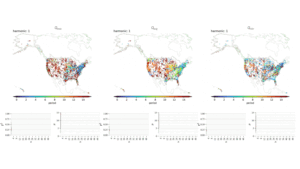
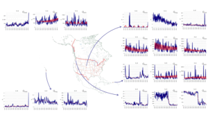
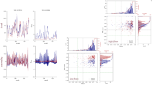
The Harmonic Oscillator Seasonal-Trend (HOST) model represents a significant advancement in time-series analysis for understanding hydrological extremes, particularly droughts. This Python-based tool combines advanced statistical methods and harmonic waveform synthesis to decompose data into short- and long-term patterns, providing insights into trends and seasonal variability. By utilizing a novel framework built on Fast Fourier Transform (FFT) and machine learning, the HOST model identifies temporal patterns in streamflow drought occurrence with impressive accuracy, explaining over 98% of long-term trends and approximately 55% of seasonal variance in tested datasets. Its ability to quantify periodicity, such as annual precipitation cycles and multi-year inertial patterns, makes it a powerful tool for diagnosing the drivers of extreme events and informing sustainable water resource management strategies.
Tested on daily and monthly streamflow data from the National Water Model (NWM) retrospective dataset, the HOST model demonstrated robust performance, with a Kling-Gupta efficiency often exceeding 0.9 for long-term trends. While its accuracy in seasonal patterns and binary occurrence classification showed limitations in regions with sparse drought events, the model’s weighted occurrence classification and automatic decomposition improvements have reduced false-positive forecasts. This innovative approach provides actionable insights for hydrological planning and emergency response, particularly in regions vulnerable to the increasing frequency of droughts due to climate change. The HOST model’s ability to integrate with physical models further enhances its applicability for short-term event forecasting and long-term water management solutions. Model is published as a Python module (hostmodel).
Southeast US hydrological extremes
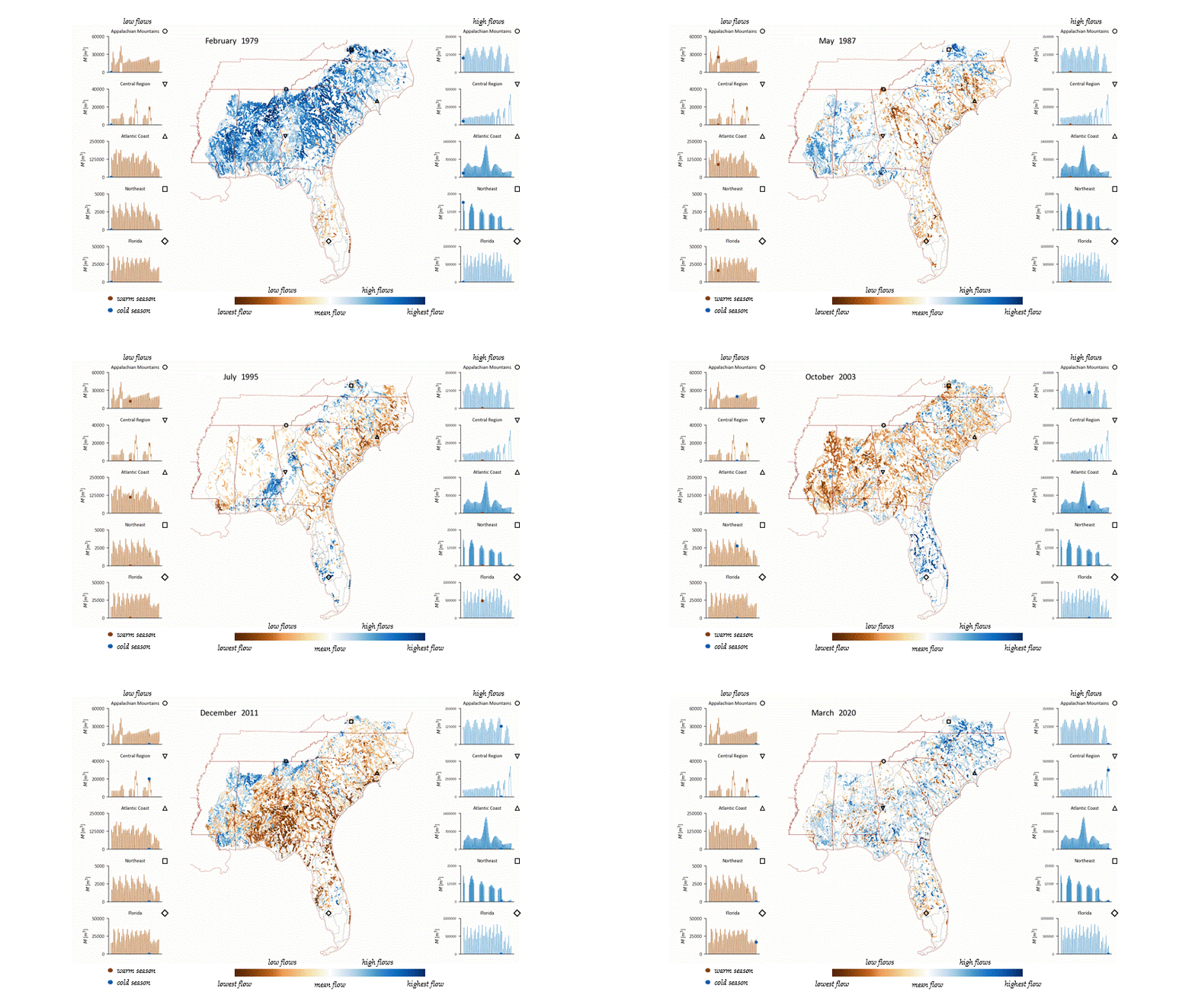
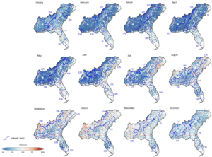
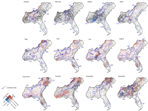
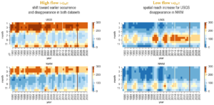
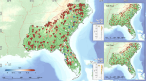
The spatial and temporal patterns exploration of hydrological extremes, particularly streamflow peaks and droughts, across the southeastern United States using high-resolution streamflow data from the National Water Model (NWM) and USGS streamflow gauges. Employing statistical techniques like the Harmonic Oscillator Seasonal Trend (HOST) model and flow duration curve methods, the study identified recurring seasonal and long-term trends in extreme hydrological events. Key findings include the clustering of flood and drought occurrences in distinct regions, with spatial patterns tied to climatic and geological factors. For instance, seasonal peaks in flood events are associated with rainfall variability, while low flow events show a stronger relationship with groundwater dynamics and long-term climatic processes.
The results provide critical insights for water management and emergency planning, emphasizing the importance of understanding spatial variability and temporal cycles in extreme events. The study demonstrates the applicability of NWM retrospective data for analyzing regional hydrological behaviors, highlighting its value despite some limitations in local-scale assessments. By capturing the predictable patterns of droughts and floods, this research offers a foundation for developing targeted strategies to mitigate water shortages, enhance flood preparedness, and address climate change impacts on water resources. These findings serve as a valuable tool for stakeholders in resource management and policy-making across the southeastern United States.
Objective Drought Identification Framework
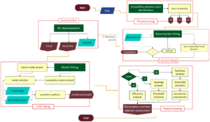
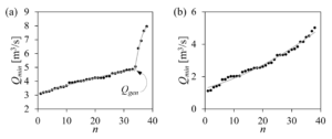
This project introduces an innovative method for identifying streamflow droughts through an objective threshold calculation based on breakpoint analysis. Unlike traditional approaches that rely on predefined percentiles or flow duration curves (FDCs), this method determines thresholds by identifying the transition from atmospheric feed flows to base flow, marking the genesis of a hydrological drought. By eliminating the subjectivity inherent in selecting percentile criteria, this framework ensures consistency and reproducibility across studies, enhancing the statistical comparability of drought analyses.
The approach is particularly effective for datasets with high spatial and temporal resolution, such as numerical model outputs where subsurface runoff is poorly described. Published alongside a Python module (objective_thresholds), this method allows for broad application in hydrological research, providing a robust tool for accurately detecting low flow events. By unifying threshold criteria and improving drought characterization, this work offers significant advancements in understanding and managing hydrological drought conditions, paving the way for more reliable assessments of water scarcity risks in varying environmental contexts.
Mechanisms of drought development in Eastern Europe
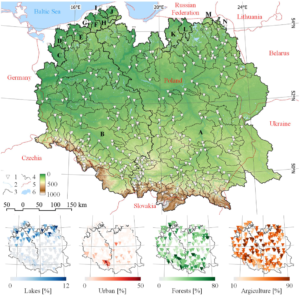
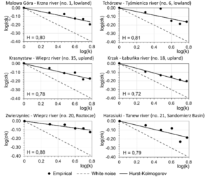
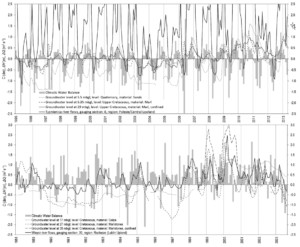
This project investigates the drivers and patterns of hydrological extremes, focusing on streamflow droughts and floods in Eastern Europe, particularly in Poland. Using daily streamflow data from over 250 gauges spanning 1965 to 2020, the study employed advanced statistical methods like Seasonal Trend Decomposition using Loess (STL) and objective thresholding to identify and analyze hydrological extremes. Key findings reveal an increasing trend in streamflow droughts, particularly in summer, and a decrease in flood occurrences, except in southeastern mountainous areas where flooding has increased in late spring and early autumn. These trends highlight the complex interplay of climatic and hydrogeological factors driving extreme events in the region.
The study also explored regional differentiation in drought mechanisms, identifying two distinct patterns: lowland rivers experience droughts driven by high evaporation during warm seasons, while upland rivers are influenced by groundwater dynamics and local hydrogeology. Analysis of retention reservoirs, like the Nielisz Reservoir on the Wieprz River, demonstrated their effectiveness in mitigating low flows and reducing flood impacts, underscoring their role in sustainable water management. Additionally, a detailed assessment of the Bug River’s floodplain lakes emphasized the temporal importance of hydrological cycles in preserving biodiversity and maintaining water quality. These findings contribute valuable insights for adapting water resource management strategies to address climate-induced changes in Eastern Europe.
Hydrochemistry of waters in permafrost catchment
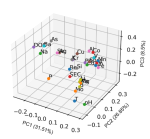
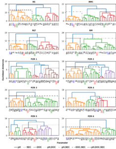
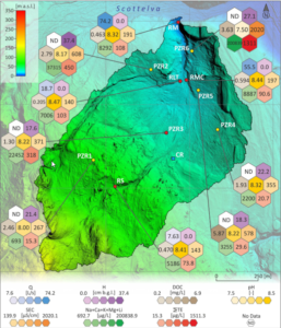
This project investigates the impact of climate change on the hydrochemistry of waters in a small permafrost catchment on the west coast of Svalbard. Using an interdisciplinary approach, the study analyzed 280 water samples to assess the relationships between meteorological conditions, such as temperature and precipitation, and hydrological parameters, including groundwater table depth and daily discharge. Results revealed that rising summer temperatures significantly influenced water chemistry by altering discharge patterns and reducing groundwater levels. Statistical analyses highlighted chemical weathering and dissolved organic carbon (DOC) binding as key processes affecting the concentrations of major and trace elements, such as calcium, magnesium, zinc, and lead, in surface and groundwater.
Further analysis of rainfall chemistry in the region revealed the influence of diverse environmental factors, including sea spray, air mass trajectories, and pollution from global sources such as wildfires, volcanic activity, and dust storms. Significant spatial variability in rainfall composition was identified between coastal and glacier-forefield locations, with the former showing higher concentrations of anthropogenic pollutants and natural aerosols. This work underscores the interconnectedness of local and global environmental processes in shaping Arctic hydrochemistry, offering critical insights into the evolving impacts of climate change on sensitive permafrost ecosystems.
Bystrzyca River water resources dynamics
My hydrometry expertise is rooted in extensive fieldwork and applied research. I led the project “A conceptual model of the dynamics of changes in water resources of the Bystrzyca River” (2018 – 2019, BS-M-12-011-18-A-02, total fund: 6,853.56 PLN), during which I conducted over 60 field trips, combining cutting-edge technology and hands-on techniques to analyze water resources in the Bystrzyca Basin in Eastern Poland. This project not only advanced scientific understanding of the region but also served as a valuable educational platform, involving students in every stage of the research process. Field activities during this project included:
- River channel profiling using GPS to map channel courses.
- Cross-sectional delineation and measurements for hydraulic modeling.
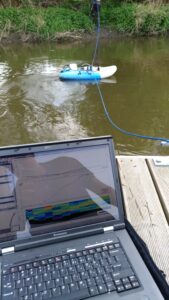
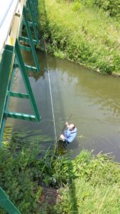
- Streamflow measurements utilizing hydrometric mills and Acoustic Doppler Current Profilers (ADCP).
- Reservoir bathymetry assessments and ice drilling for winter data collection.
- In-situ water sampling for parameters such as pH, temperature, conductivity, and dissolved oxygen.
These activities provided essential data for modeling and analysis while offering students practical exposure to hydrometry. My fieldwork experience extends to implementing innovative tools and techniques to collect high-quality data efficiently, ensuring the reliability and applicability of my findings.
